TOWNSHIP OF WASHINGTON—The township engineer said March 6 that he would request a copy of the remote-sensing data from the proposed 4 Seasons Marketplace’s consulting engineer to evaluate it for correctness.
Questions have been raised whether applicant LIDAR (light detection and ranging) basin calculations of 48.2 acres are correct for an unnamed tributary that, until recently, was designated as protected.
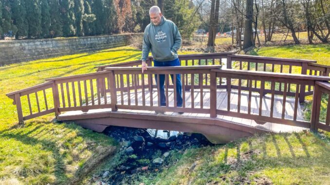
Neighbors to the tributary, which runs behind their Meisten Street homes and behind a 2.2-acre property at 660–682 Pascack Road proposed for a neighborhood retail plaza, assert that the drainage basin calculations used were incorrect and that the stream should still be classified as a Category 1 or C1 waterway, and protected from runoff and development.
The tributary flows into Musquapsink Brook, then Schlegel Lake; joins with Pascack Brook, and flows to the Oradell Reservoir.
It was classified as a C1 tributary due to its significance as a water supply source to the reservoir. (See “Follow the water on strip mall application,” Michael Olohan, Feb. 27, 2023.)
John Yakimic of Boswell Engineering told the council on March 6 that LIDAR technology, used by a consultant to Bertin Engineering to help map the drainage basin to the tributary is a new technology (in the last five to seven years) that is “much better than walking the neighborhood and eyeballing things.”
He said reviewing the LIDAR data used could help to clarify whether its 48.2-acre drainage basin calculation included all the land areas that needed to be included.
“We will be more precise; I can give better answers to the council than I can this evening if I just simply have all the background information on that,” Yakimic told the governing body.
He added the mayor’s suggestion to review the LIDAR data was “excellent.”
He said a decision by NJDEP about a decade ago that determined the tributary’s watershed was over 50 acres “was superseded because the technology has gotten better.”
However, Yakimic also said that the NJDEP official, Dennis Contois, who ruled in 2020 that the watershed basin was only 48.2 acres and the tributary was not regulated under the Flood Hazard Area Rule, told him in a recent phone call that he visited the area in 2020 and determined that the 50 acres did not factor into his decision on whether the stream was in a riparian zone.
Riparian zones generally require a 300-foot buffer on both sides of a protected waterway.
Yakimic said Contois made that determination “based on his engineering judgment and being a person from the (state) DEP.” Contois is listed as an engineering supervisor, DEP Bureau of Inland Regulation, Division of Land Use Regulation, on the Jan. 30, 2020 NJDEP letter that says the unnamed tributary is not regulated under the state’s Flood Hazard Area Control Act rules.

The Contois letter notes the 48.2-acre drainage basin calculation as one reason for its determination, and adds, “The water feature does not have a riparian zone associated with it.”
LIDAR stands for light detection and ranging, a remote sensing methods that uses light in the form of pulsed laser to measure ranges, or variable distances, to the earth. These light pulses, combined with other data recorded by an airborne system, generates precise 3-dimensional information about the shape of the Earth and its surface characteristics, said the National Oceanic and Atmospheric Administration.
Yakimic said that his firm’s engineers found it unusual that NJDEP reversed its decision on the unnamed waterway’s C1 designation, calling the reversal “extremely unusual.”
The LIDAR data was compiled by Najarian Associates of Eatontown, a consultant working with Bertin Engineering on a previous commuter parking lot proposal submitted by applicant 660 Pascack Realty LLC.
667 Meisten St. resident Michael Agnello had requested the council’s assistance in trying to determine what happened to the C1 stream running through his backyard, and his neighbors’ yards, which also required an easement on his property and a buffer area.
He alleged if the stream was a C1 waterway, and an easement existed to help protect the unnamed tributary, it would require extra protection as a C1 waterway from storm runoff and nearby development.
On March 6, Agnello said he believed there was “reasonable doubt” on basin calculations and offered to pay up to $5,000 for engineering studies to help the township review the 48.2-acre basin determination.
He said he will come back with the same question again. “Just answer me, which engineer lied?”
He said a decision on what drainage basin calculation is correct needs to happen before the Zoning Board of Adjustment makes a decision on a proposed 4 Seasons Marketplace, with 17,100 square feet of retail space, and up to 11 shops or stores.
A ZBA hearing on that application is set for March 21 at 7:30 p.m.
Later in the meeting, Councilman Thomas Sears questioned whether the LIDAR drone had “scanned the whole area” and covered the areas that needed to be scanned for the drainage basin. He said he understood how LIDAR data is gathered.
He said, “Technology is great but it can be manipulated.”
Generic retail names and uses given with the application for 4 Seasons Marketplace, proposed across from Seasons at the Pascack Road–Washington Avenue intersection. The applicant’s drainage basin calculations have been questioned, and a ZBA hearing on the application is set for March 21 at 7:30 p.m.
