LEONIA, N.J.—The Englewood Historical Society is co-sponsoring an exciting presentation “Robert Erskine: Mapmaker for the Revolutionary War” on Wednesday, Feb. 19, at 7 p.m. at the Leonia United Methodist Church. Erskine’s detailed maps skillfully guided George Washington and his army throughout New Jersey and beyond.
Erskine arrived in the colonies from Scotland as an industrial loyalist—to manage the iron mines of Ringwood. However, he died as an ardent defender of American freedom. His ascent from British minemaster to patriot in charge of mapmaking for the American Revolution may sometimes be forgotten. But today his work is alive as his maps reveal incredible information about our heritage, our land and our roads.
Erskine’s 1778 map for General George Washington is the first known cartographic record of the “English Neighborhood,” the area along Grand Avenue that today runs through Leonia, Palisades Park, Ridgefield, and part of Englewood and Fairview—all alongside the Overpeck Creek.
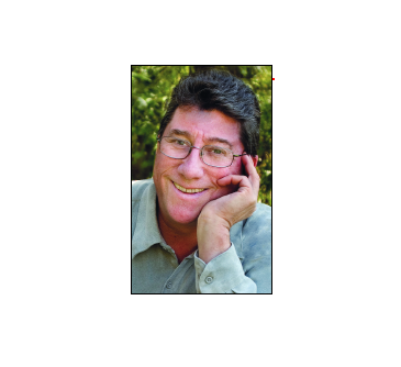
The program, sponsored jointly by the towns along the map’s route as well as Fort Lee and West New York, will be presented by local historian and photographer Billy Neumann. A popular historian with three books on local history, Neumann is the current Chair of Bergen County’s Historic Preservation Advisory Board and heads the Outreach Committee of Preservation New Jersey. He is the third generation to haunt his family’s 1870s farm house in Rutherford. For over 30 years Neumann has worked in New York City and New Jersey as a commercial photographer.
The public is welcome to this cooperative event organized by local historians, historic preservation commissions, historical societies and museums. The free event will include refreshments and a tour of the beautiful 1915 stone church and its archive. The Leonia United Methodist Church, 396 Broad Avenue is next to the Leonia Post Office; parking lot entrance is on Broad Avenue. For further information, email dovidbraun@gmail.com.
